Precaching map data
Precache map data for future use.
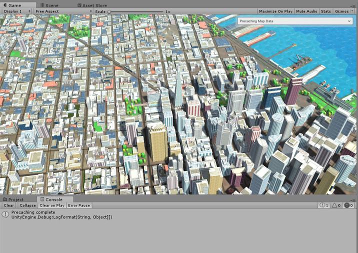
To run this example, open the Wrld/Demo/Examples.unity scene, click the Play button, and select Precaching map data from the dropdown.
using UnityEngine;
using Wrld;
using Wrld.Space;

public class PrecachingMapData : MonoBehaviour
{
    private void OnEnable()
    {
        // cache a 2000 meter radius around this point
        Api.Instance.PrecacheApi.Precache(LatLong.FromDegrees(37.7952, -122.4028), 2000.0, (_result) =>
            {
                Debug.LogFormat("Precaching {0}", _result.Succeeded ? "complete" : "failed");
            });
    }
}
v0.8.17
- Moving the Camera
- Adjusting Camera Heading & Tilt
- Animating the Camera
- Set a Custom Render Camera
- Selecting Buildings
- Placing Objects on Buildings
- Highlighting Buildings
- Clearing Highlights
- Updating Building Highlight Color
- Picking Buildings
- Enter and Exit an Indoor Map
- Display the Name of an Indoor Map
- Moving between Indoor Map Floors
- Animating Indoor Maps with a Slider
- Indoor Maps with Custom Materials
- Highlighting Indoor Map Entities
- Picking Indoor Map Entities
- Query Indoor Map Entity Information
- Precache map data
- Cancel precaching map data
- Position Object on the Map with a GeographicTransform
- Position Object on the Map with a Positioner
- Fly Object Over Map
- Place a 2D View on the Map
- Position Object on an Indoor Map
- Place a 2D View on an Indoor Map
- Find Point on Transport Network
- Find Path on Transport Network
- Follow Path on Transport Network
- Visualize Transport Network
- Access Network using TransportGraph
- Find Point on Path
- Enable Labels
- Colliding with map geometry
- Coordinate Systems
- Custom Materials
- Custom Textures
- Debugging & Performance
- ECEF Coordinate System
- GeographicTransform Information
- SDK Package Structure
- Using the Built-in Camera Controls
- Using Your Own Camera Controls
- Separate Streaming and Rendering
- Troubleshooting
Camera
Buildings
Indoor Maps
Precaching
Positioning
Transport
Paths
Experimental Features
Miscellaneous